
Treatment maps
Proof of coverage, not just an invoice line.
After every application you receive a detailed satellite and GPS-assisted map of your property with the treated areas highlighted. Quotes and invoices are based on that actual treated acreage — never the full parcel size.
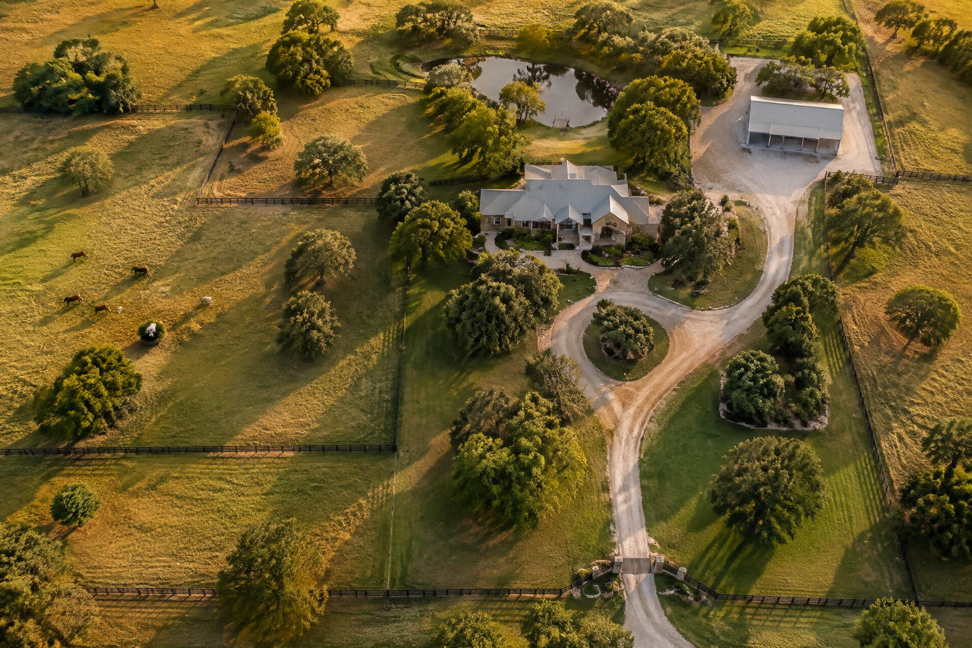
Sample coverage overlay
What's included
Treated boundaries, acreage totals, application date, product used and the applicator on site.
What's excluded
Wooded areas, streams, ponds and lakes are outside the service — they're marked on the map and left off the bill.
Why it matters
On large acreage, the difference between parcel size and treatable ground is often the whole negotiation. The map settles it.
Want to see a real report for a property like yours? Ask for examples when you request a bid — we'll send samples for comparable acreage.
Request report examples